
REYKJANES AFTER ERUPTIONS: LAVA HAS BURIED THE MAIN ROAD, MAGMA IS ACCUMULATING AGAIN BENEATH ICELAND

We walked along one of the roads that disappeared beneath hardened lava. Although there is currently no ongoing eruption, magma is once again accumulating beneath the Svartsengi area, and scientists expect volcanic activity in the region to continue.

A road that disappeared beneath lava within hours
At first glance, the landscape in southwest Iceland appears almost calm. Black lava fields stretch all the way to the horizon, no fountains of molten rock rise from the craters anymore, and silence dominates the surroundings. Yet a closer look at one of the local roads reveals the scale of what has taken place here.
A road that was still in regular use only a few months ago now ends beneath several meters of fresh lava. In some places, its entire structure has disappeared, while elsewhere only the edges of asphalt remain visible, protruding from the dark rock. Such sites are becoming increasingly common across the Reykjanes Peninsula.
A series of eruptions has reshaped the entire peninsula
Since late 2023, the Sundhnúksgígar crater row has been the site of repeated volcanic eruptions. Each event has produced new lava flows that have gradually reshaped the landscape and affected infrastructure around the town of Grindavík.
Lava has crossed roads leading into the town several times, damaged utility networks, and forced Icelandic authorities to build new protective barriers and alternative roadways. Some sections have had to be relocated more than once within a single year.
Nevertheless, even more extensive damage was prevented. Large-scale earth barriers built around Grindavík and the nearby Svartsengi geothermal power plant have, in most cases, diverted lava flows away from the most vulnerable areas.
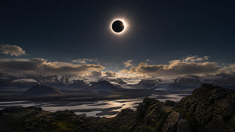
More stories and information from Iceland, including full details about the solar eclipse on August 12, can be found HERE.
Grindavík remains almost deserted
The most powerful symbol of the volcanic crisis is the town of Grindavík itself. Most residents were forced to leave at the end of 2023, when large ground fissures began opening beneath the town and a series of strong earthquakes signaled magma rising toward the surface.
Although some residents were allowed to return temporarily, normal life has not resumed. While lava flows themselves largely bypassed Grindavík, the town was severely affected by intense seismic activity and the opening of ground fissures nearby, causing terrain deformation and long-term evacuation of parts of the settlement.
A nighttime view of nearly empty Grindavík feels almost surreal. Streetlights are still on, but the streets remain unusually quiet. We photographed and filmed during peak tourist season.


What is happening beneath the surface right now?
Although no eruption is currently taking place on the Reykjanes Peninsula, geologists are far from speaking about the end of volcanic activity.

Magma continues to accumulate beneath the Svartsengi geothermal area. GPS measurements and satellite radar data show that the ground is slowly rising again—a process known as inflation. This is caused by magma gradually filling the subsurface reservoir from deeper within the Earth.
A similar pattern preceded previous eruptions. While the exact timing of the next event cannot be predicted, scientists emphasize that the current volcanic cycle on Reykjanes is far from over.
What does the return of eruptions on Reykjanes mean after a long period of quiescence?
The Reykjanes Peninsula lies directly on the boundary between the Eurasian and North American tectonic plates, which are moving apart at a rate of roughly two centimeters per year. This allows magma to rise toward the surface.
After nearly 800 years of relative inactivity, a new volcanic phase began in 2021. Since then, a series of eruptions has demonstrated that Reykjanes may be entering a long-term active period that could last for decades.
Similar cycles have occurred repeatedly in Iceland’s geological history.

Is it safe to travel to Reykjanes?
Yes. Although images of lava and cracking ground appear dramatic, most of Iceland continues to operate normally.
Roads, airports, and tourism services remain open, and restrictions mainly affect the immediate area around Grindavík and active volcanic zones. Icelandic authorities continuously monitor the situation and issue closures well in advance when necessary.
If you are planning a visit to Reykjanes, it is advisable to follow current updates and respect all safety restrictions.

A landscape changing before our eyes
Just a few years ago, a normal road crossed what is now a lava field. Today, it is buried in many places beneath several meters of solidified rock.
Reykjanes offers a rare opportunity to witness the creation of new land almost in real time. Few places on Earth allow visitors to see such recent evidence of powerful geological processes within a single trip—from newly formed craters and vast lava fields to roads that vanished beneath molten rock within hours.
The Reykjanes Peninsula after recent eruptions repeatedly shows how rapidly the landscape continues to evolve.
Sources:
Icelandic Meteorological Office
The Icelandic Institute of Natural History
Civil Protection of Iceland

About the Author
Iceland has fascinated me for many years. Over the course of numerous journeys across the island, I have driven tens of thousands of kilometers, experienced storms that changed travel plans within minutes, and witnessed days when choosing the right route meant discovering places that most visitors never see. I documented many of these experiences in my documentary film Island in the North.
Through this website, I share practical travel advice, up-to-date information, and firsthand experiences from the field to help others explore Iceland more safely and gain a deeper understanding of its unique landscapes and ever-changing nature.


Komentáře